Im not sure if Eddy will do a post on this since he had to bail because of the heat and lack of water for his pack so i figured i would post my pictures.
Stats:
Mt Lincon
Created by My Tracks on Android.
Total distance: 16.58 km (10.3 mi)
since i know its off so im thinking its closer to 9miles
Total time: 6:41:28
Max elevation: (14250 ft)
Min elevation: (10479 ft)
Elevation gain: (4748 ft)


We started the hike at 6am from our cabin and walked up Quartzville rd till we could find a break in the private land to head towards the mountain. It was getting hot all ready around 7am and concerns about water and the dogs making the summit started. at the post to start the trail to Lincoln we split up and eddy's mom, Danielle, her pup gunny and me with S&J decided we were gonna try for the summit while the rest headed back to the cabin. we had a plan of one of them driving back up the road to pick us up when we got back to the true trail head/off road trail. It ended up being a great girls hike, Eddys mom and I can be trouble and if it were not for Danielle and the pups we would have headed for a 2nd 14er summit, instead we called it good and headed back down the main trail.
here are the pictures


heading up the dirt road, it was a boring first mile or so.

we found a bristle pine tree, they are super OLD

up close view of the cones

summit way out there

snow field where we split off


future home?....

there is a spider web of roads up towards the summit, we just kept picking the ones that went up


Summit!

Danielle

Me and S&J

the girls! eddys mom in the middle


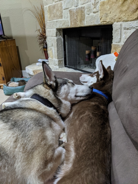
Gunny is passed out


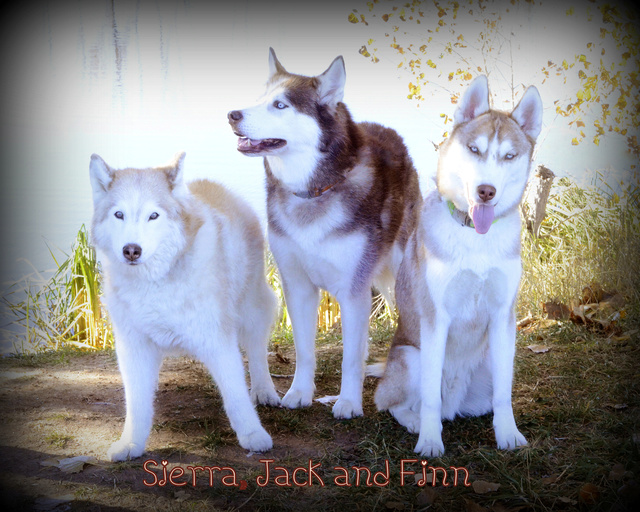
here are the 3 peaks we hiked the other weekend!


Snow! the way off the summit is screen and i knew the pups would take me out going down, i unhooked them and off to the snow field they went


Jack and Gunny were leading the way

flowers at the pond


the only water source on the way up or down the trail

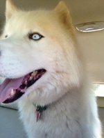
truck ride back to the cabin! thank god as it was HOT and the pups were done.

hope you enjoyed our hike
till next time....